Assignment:
1. How do factors of migration, movement, and transportation impact your city?
2. Using Google Earth mark the nearest airport, rail, and bus/taxi hub, market (commercial center) and political center of your city. What is the latitude and longitude of these three sites? Measure the distance from the airport, rail and bus/taxi hubs to the commercial center using Google Earth. Provide a screen shot of Google Earth with each of these points marked.
Transportation in Bangui is limited to river, roads, and air. There are no railways in the Central African Republic. Nations Encyclopedia cites river transportation as the most important for movement of freight. Goods also travel by truck via RN 1 connecting to Douala port in Cameroon.
In 2007, the World Bank, European Union, the African Development Bank and the French Development Agency got together to fund transport improvements that would better connect the Douala Port in Cameroon to Bangui and N’Djamena, Chad. The $680 million project was set out to pave and improve highways and networks. This initiative was in response to deficiencies in infrastructure, especially during rainy seasons and is meant to increase trade among the CEMAC (Economic Community of Central African States) which includes Angola, Burundi, Cameroon, CAR, Chad, Republic of the Congo, Democratic Republic of the Congo, Equatorial Guinea, Gabon,São Tomé and Principe and Rwanda.

Truck drivers delivering goods between these countries complain of ‘roadblocks, heavy traffic, poorly managed border crossings and even areas such as the one-lane bridge between Chad and Cameroon where the processing of livestock several times per week takes precedence over the passing through of traffic.’
In Bangui specifically, recent political instability has led to security concerns on roads and intersections. In July 2015, drivers went on strike in Garoua-Boulai, the last Cameroon town before the journey into the CAR begins because ‘the 6000 km-odd journey through CAR territory have become a veritable death trap which only the stone-hearted could undertake.” Robbers and thieves along the way did not only present a financial threat but a fatal one as well for travelers.
A Reuters report published in 2014 by itnssource.com also adds insight into the transportation problem in Bangui outlining the complex causes and dynamics surrounding the transportation problem with drivers blaming the government for poor roads and the government blaming private firms for withholding vehicles.
“CAR: Public transport infrastructure in Bangui crippled by CAR conflict.” Itnsource.com. 24 June 2014.Web. 27 March 2016.
“Central African Republic – Transportation.” NationsEncyclopedia.com. n.d. Web. 27 March 2016.
"Central Africa Transport and Transit Facilitation Project Aims to Open Continent's Most Challenging Corridors." World Bank. N.p., n.d. Web. 27 Mar. 2016.
“Douala-Bangui Corridor Reopens for Transportation of Goods.” International Marine & General Services. 16 September 2015. Web 27 March 2016.
“Transport system in Bangui City in Central African Republic.” FortuneofAfrica.com. 9 April 2014. Web. 27 March 2016.
1. How do factors of migration, movement, and transportation impact your city?
2. Using Google Earth mark the nearest airport, rail, and bus/taxi hub, market (commercial center) and political center of your city. What is the latitude and longitude of these three sites? Measure the distance from the airport, rail and bus/taxi hubs to the commercial center using Google Earth. Provide a screen shot of Google Earth with each of these points marked.
 |
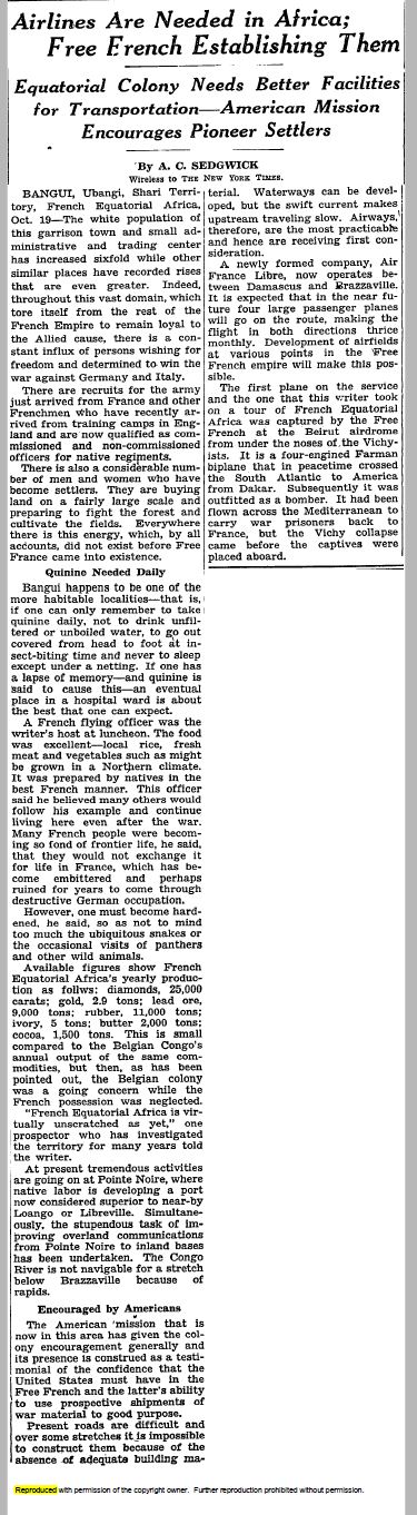
| Map of major and minor roads and public amenities. Data from Mapzen.com |
In 2007, the World Bank, European Union, the African Development Bank and the French Development Agency got together to fund transport improvements that would better connect the Douala Port in Cameroon to Bangui and N’Djamena, Chad. The $680 million project was set out to pave and improve highways and networks. This initiative was in response to deficiencies in infrastructure, especially during rainy seasons and is meant to increase trade among the CEMAC (Economic Community of Central African States) which includes Angola, Burundi, Cameroon, CAR, Chad, Republic of the Congo, Democratic Republic of the Congo, Equatorial Guinea, Gabon,São Tomé and Principe and Rwanda.

Truck drivers delivering goods between these countries complain of ‘roadblocks, heavy traffic, poorly managed border crossings and even areas such as the one-lane bridge between Chad and Cameroon where the processing of livestock several times per week takes precedence over the passing through of traffic.’
In Bangui specifically, recent political instability has led to security concerns on roads and intersections. In July 2015, drivers went on strike in Garoua-Boulai, the last Cameroon town before the journey into the CAR begins because ‘the 6000 km-odd journey through CAR territory have become a veritable death trap which only the stone-hearted could undertake.” Robbers and thieves along the way did not only present a financial threat but a fatal one as well for travelers.
A Reuters report published in 2014 by itnssource.com also adds insight into the transportation problem in Bangui outlining the complex causes and dynamics surrounding the transportation problem with drivers blaming the government for poor roads and the government blaming private firms for withholding vehicles.
“CAR: Public transport infrastructure in Bangui crippled by CAR conflict.” Itnsource.com. 24 June 2014.Web. 27 March 2016.
“Central African Republic – Transportation.” NationsEncyclopedia.com. n.d. Web. 27 March 2016.
"Central Africa Transport and Transit Facilitation Project Aims to Open Continent's Most Challenging Corridors." World Bank. N.p., n.d. Web. 27 Mar. 2016.
“Douala-Bangui Corridor Reopens for Transportation of Goods.” International Marine & General Services. 16 September 2015. Web 27 March 2016.
“Transport system in Bangui City in Central African Republic.” FortuneofAfrica.com. 9 April 2014. Web. 27 March 2016.


